-
Previous
Multi-GNSS Advanced Orbit and Clock Augmentation - Precise Point Positioning (MADOCA-PPP)

-
Next
QZSS Safety Confirmation Service (Q-ANPI)

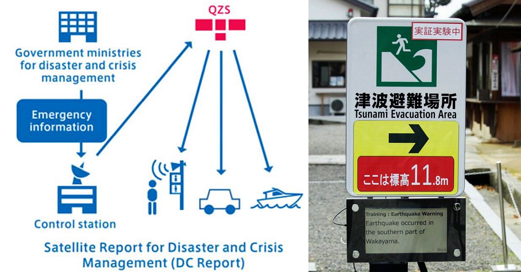
Satellite Report for Disaster and Crisis Management (DC Report)
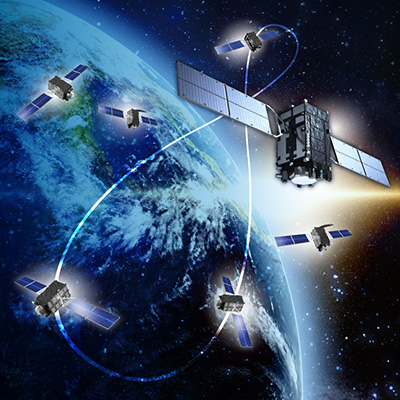
In this service, crisis management information released by organizations for disaster prevention - including information when a disaster like an earthquake or tsunami occurs - is transmitted via Quasi-Zenith Satellites (QZS). The DC Report service uses the same L1S signals as the Sub-meter Level Augmentation Service (SLAS). Disaster-related information is transmitted in intervals of four seconds.
It is expected this service will be used with outdoor facilities connected to power sources (streetlights, signage, etc.) and moving objects (including onboard equipment like car navigation systems). Disaster-related information that is received at the time of a disaster can be shared via audio and displays. This will make it possible to promptly convey disaster-related information even to people in regions with poor telecommunications networks (such as mountainous areas) and when telecommunications are cut off due to damaged ground infrastructure.

Satellite Report for Disaster and Crisis Management (DC Report)
Today, DC Reports are sent by converting the disaster prevention information provided by the Japan Meteorological Agency (JMA) into an original format. Because DC Reports can be received in the Southeast Asia and Oceania regions, overseas information is also sent such as distant earthquakes and tsunamis in the northwest Pacific Ocean announced by the JMA. DC Report information is also distributed via social media, allowing people to easily confirm this information (excluding some types of disaster information).
Satellite Report for Disaster and Crisis Management (Extended Information) (DCX)
DCX has started distributing J-Alerts (missile launch information) and L-alerts (evacuation instructions) from April 1, 2024. Additionally, DCX can be received outside Japan, DCX will be expanded overseas and distribute disaster information created by disaster prevention organizations in the Asia-Pacific region.
-

Overview of the Quasi-Zenith Satellite System (QZSS)
-

What is the Quasi-Zenith Satellite System (QZSS)?
-

QZSS is Becoming a Seven-satellite Constellation
-

Advantages of QZSS
-

Service Comparison
-

Transmission Signals
-

Satellite Positioning, Navigation and Timing Service (PNT)
-

Sub-meter Level Augmentation Service (SLAS)
-

Centimeter Level Augmentation Service (CLAS)
-

Multi-GNSS Advanced Orbit and Clock Augmentation - Precise Point Positioning (MADOCA-PPP)
-

QZSS Safety Confirmation Service (Q-ANPI)
-

Positioning Technology Verification Service
-

Signal Authentication Service
-

Public Regulated Service
-

SBAS Transmission Service


