-
Previous
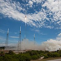
Fifteen positioning satellites were launched in 2015
-
Next
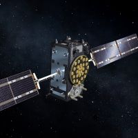
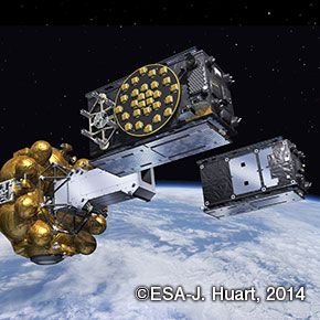
Galileo 11 and 12 satellites were successfully launched on December 17
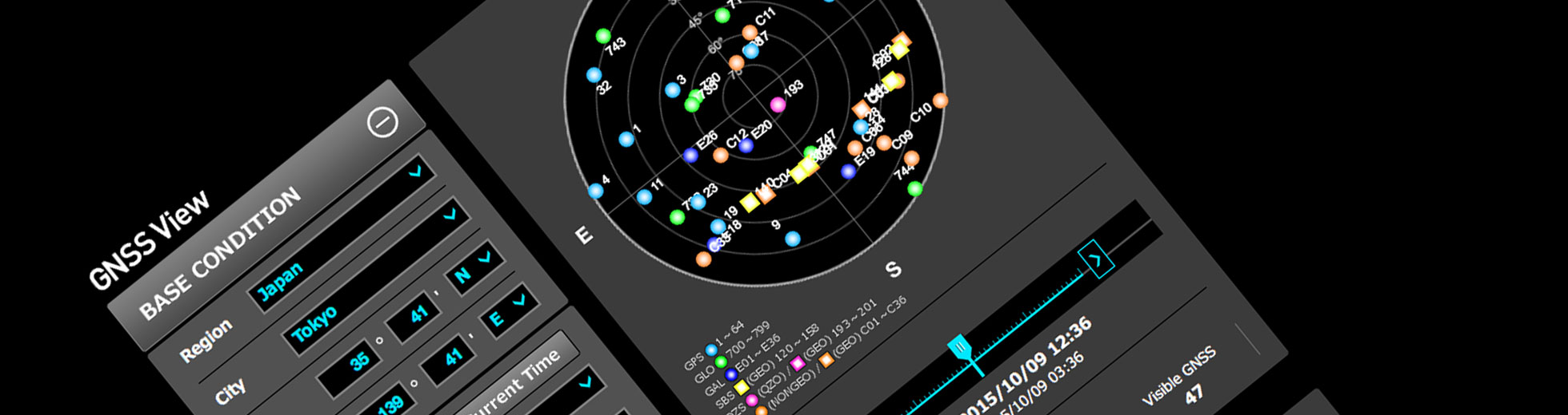
The latest version (ver.2.0) of GNSS View
The latest version of GNSS View, an app that shows positioning satellite placement
GNSS View, a web application provided via this website, was recently updated to version 2.0 (the latest version). GNSS View is software that reproduces satellite placement in the sky (constellations) at a given time and location based on publicly released orbital information for positioning satellites. It was released last year (2014).
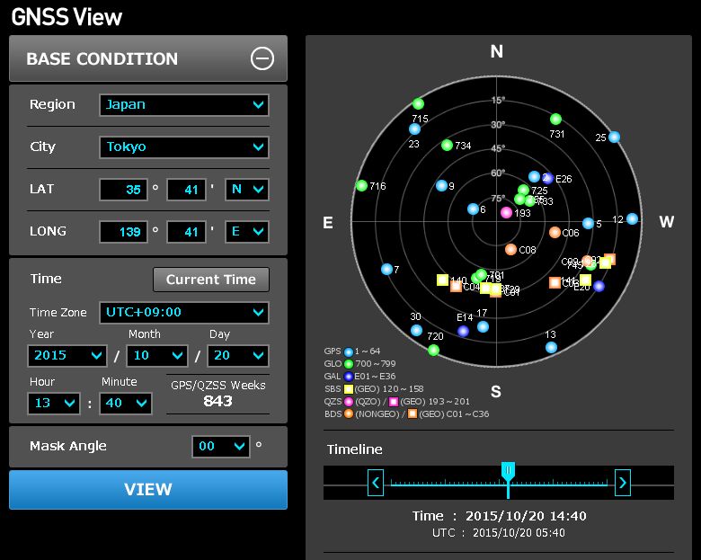
Now supports GLONASS, BeiDou, Galileo, and SBAS
This app displays the current location and time by default, but the set time can be modified to view changes in satellite placement. There is also a mode for users to see the future satellite placement after QZS-2 through QZS-4 are launched to create a four-satellite constellation together with QZS-1 (Michibiki), which is currently being operated.
The updates made to this version add support for GLONASS (Russia), BeiDou (China), Galileo (Europe), and the Satellite-based Augmentation System (SBAS) to the existing Michibiki and GPS. The satellite placements for the newly added four systems are calculated based on publicly available orbital information from the North American Aerospace Defense Command (NORAD).
The mobile apps available on the Google Play and App Store have also been updated
GNSS View can also be used on mobile devices. The Android version is available through Google Play and the iOS version for Apple devices is available on the App Store. These have been updated together with the PC app.
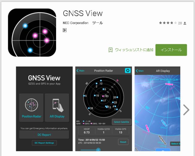
Page on Google Play
The AR Display function has been added to the mobile app only and is not available on the PC app. On the mobile app, the PC app’s function for reproducing satellite placement onscreen is available from the “Position Radar” menu (if GPS is enabled on the smartphone or other device, Position Radar can also be used as a compass). In addition, the mobile app includes the AR Display function in which the user can set a specific time and view the satellites that can be seen from the current location through the camera’s viewfinder. It also includes a function for displaying demo DC Report screens and viewing sample messages .
Reference
-
 Nov.20,2016
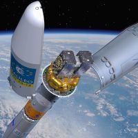
The first simultaneous launch of four Galileo European positioning satellites was successful
-
 Aug.18,2016
The salvaged fifth and sixth Galileo satellites to start sending test signals
-
 Jun.29,2016
Eutelsat launched a communication satellite equipped with a Wide Area Augmentation System (WAAS) payload
-
 Jun.16,2016
China launched its third BeiDou satellite this year
-
 Jun.08,2016
The GSA will establish the Galileo Reference Centre in the Netherlands
-
 Jun.01,2016
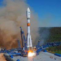
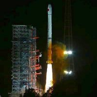
Russian positioning satellite GLONASS-M was successfully launched on May 29
-
 May.28,2016
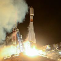
The thirteenth and fourteenth Galileo European positioning satellites were successfully launched
-
 May.02,2016
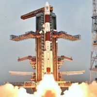
IRNSS-1G was successfully launched, completing the Indian Regional Navigational Satellite System
-
 Apr.03,2016
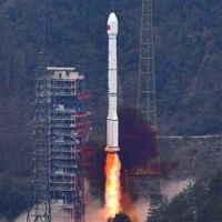
China launched its twenty-second BeiDou satellite on March 30
-
 Mar.12,2016
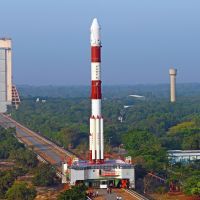
Indian positioning satellite IRNSS-1F was successfully launched on March 10
-
 Feb.14,2016
Russian positioning satellite GLONASS-M was successfully launched on February 7
-
 Feb.12,2016
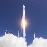
GPS IIF-12 satellite was successfully launched on February 5
-
 Feb.11,2016
China launched its twenty-first BeiDou satellite on February 1
-
 Jan.25,2016
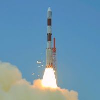
Successful launch of the Indian IRNSS-1E positioning satellite
-
Jan.10,2016
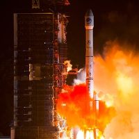
Fifteen positioning satellites were launched in 2015
-
Dec.21,2015
Galileo 11 and 12 satellites were successfully launched on December 17
-
 Nov.26,2015
Launch of Indian satellite GSAT-15 in the GAGAN system
-
 Nov.02,2015
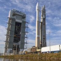
GPS IIF-11 satellite was successfully launched on an Atlas V rocket
-
 Oct.05,2015
China launched its twentieth BeiDou satellite on September 30
-
 Sep.16,2015
Two Galileo satellites were successfully launched
-
 Aug.14,2015
GPS IIF-10 was successfully launched by the U.S., and two BeiDou satellites were successfully launched by China