
User Guide (Ships and Aircraft)
Highly precise positioning supports the operation of ships and aircraft
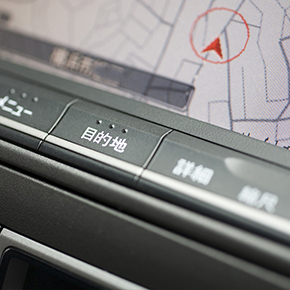
Understanding position information for aviation and ship navigation
Positions can be understood on land according to roads or buildings, but for ships and aircraft some type of method must be used to grasp position information. Today it is commonplace to obtain position information through navigation services that use positioning satellites, which have become essential. To support even safer and more accurate navigation, augmentation information that improves positioning precision for ships and aircraft is used in some cases.
Supporting safe ship navigation
There are few landmarks on the ocean, so satellite positioning (including GPS) is an important navigation method for ships. In particular, many ships travel in locations near land. Accurate navigation is required to avoid shallows, so highly precise positioning via QZSS (Michibiki) accomplishes safe ship operation. Disaster information, such as about tsunamis and typhoons, would be available in ocean navigations. In addition, rescue requests can be issued in times of maritime distress occurring on the seas close to Japan.
Supporting safe aircraft navigation
Satellite positioning, including GPS, is also used for aircraft navigation. QZSS (Michibiki) makes highly precise positioning possible, which supports the safe operation of aircraft.