[Movie] Quasi-Zenith Satellite System “QZSS” (2025 version)
Movie introducing Quasi-Zenith Satellite System "QZSS" (6'32")
Footage provided by:
East Nippon Expressway Company Limited, Ezowin Inc., Core Corporation, AerodyneJapan, Eight Knot Inc., Hokkaido Regional Development Bureau, Ministry of Land, Infrastructure, Transport and Tourism
1. Quasi-Zenith Satellite System, "QZSS"
The first satellite of the Quasi-Zenith Satellite System, or QZSS, was launched in 2010, and the system has been providing services with four satellites since fiscal 2018. The QZSS that provides highly precise and stable services not only in Japan but also across the Asia-Oceania region is a Japan’s exclusive satellite positioning system. To further improve services and functions, three additional satellites will be launched sequentially from 2025, aiming to operate the system with seven satellites.
Enabled by the reception of signals from satellites such as GPS, navigation systems in cars and smartphones have become essential to our lives. The QZSS is made up of satellites that orbit in a figure eight-shaped pattern centered on Japan and the Asia-Oceania region, as well as geostationary satellites on the equator. The eight-shaped orbit allows satellites to stay near the zenith over Japan for a long time, improving satellite signal reception and positioning accuracy.
The use of unique augmentation signals from the QZSS will enable positioning accuracy at sub-meter and centimeter levels to be achieved. During times of natural disaster, the QZSS will send evacuation information and enable evacuees to gather information about evacuation shelters. The QZSS is being utilized in a variety of fields as a social infrastructure that advances positioning information.
2. Snow Removal
Snow removal on highways can take a long time from early in the morning or until late at night. Snow reduces visibility, requiring high driving skill. In addition to autonomous driving of snow removal vehicles, a driving assistance system has been introduced that utilizes precise map information and QZSS’s centimeter-level positioning to identify guardrails and road markings covered in snow. This makes snow removal work more efficient.
3. Agriculture
By equipping agricultural machinery such as forage harvesters and tractors with a QZSS-compatible receiver, the route traveled can be accurately recorded. Moreover, by providing driving paths in real time, the burden of information sharing between workers and progress management can be reduced, improving overall work efficiency. The high-precision positioning of the QZSS, combined with autonomous driving to enhance agricultural work, will contribute to the realization of smart agriculture.
4. Logistics Drones
By utilizing the QZSS for autonomous flights, drones are able to fly pre-designated routes with high precision and land at their destinations with pinpoint accuracy. Even if malicious signals are transmitted from proximity, the QZSS’s Signal Authentication Service will help identify the genuine signals from the QZS, ensuring reliable and safe flight and landing at the correct destination. The QZSS will bring reliability and safety to drone logistics, expected to be put into practical use.
5. Infrastructure Inspection Drones -- Wind Generation --
Drones are increasingly used to inspect essential equipment and facilities that support our daily lives and societal functions. For wind power facilities that require regular inspections, autonomous drone flight is considered to improve efficiency. Drones compatible with QZSS's high-precision positioning can follow fixed routes, allowing for safe imaging of wind power facilities. This technology is expected to be utilized in the offshore wind power plants under construction nationwide.
6. Marine -- Water Taxi --
The QZSS is now entering the maritime domain, where small vessels that leverage this technology are being employed as water taxis in real-world applications. Combining accurate positioning with diverse sensors enables the ship to identify obstacles and other ships, allowing for safe navigation and precise docking and departure. Expectations are high for various maritime uses in the future, including in fishing and on large ships.
7. River Maintenance
In river maintenance, which requires wide-area grass cutting, demonstration experiments are being conducted to automate large grass cutters to address the labor shortage caused by the declining and aging population. Multiple grass cutters, using the QZSS for high-precision positioning, travel autonomously while keeping a safe distance, effectively mowing only the required areas. It is expected that productivity will be greatly improved by automating work management, such as measuring the mowing area. With the aim of further improving convenience, the QZSS is planned to be expanded to an eleven-satellite constellation system.
QZSS will continue to provide precise position information and disaster prevention information from space, contributing to the realization of a safe, secure and prosperous society.
-
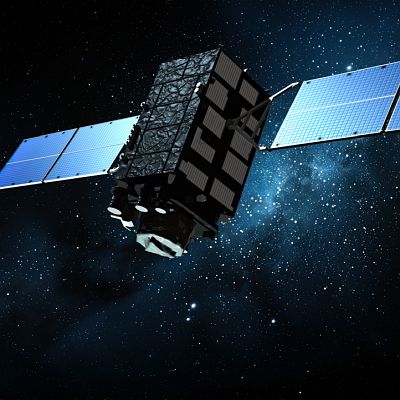 Feb.08,2025
CG Images of QZS-2
-
 Feb.08,2025
CG Images of QZS-3
-
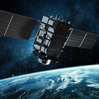 Feb.08,2025
CG Images of QZS-4
-
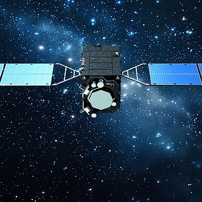 Feb.08,2025
CG Images of QZS-1R
-
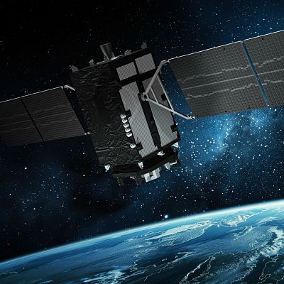 Feb.08,2025
CG Images of QZS-6
-
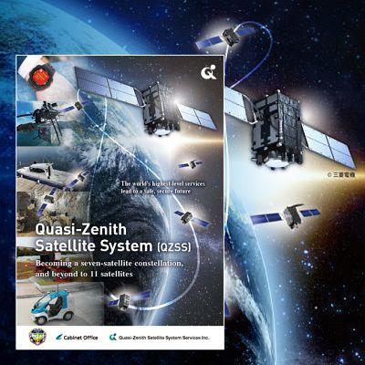 Nov.13,2024
Pamphlet
-
 Nov.12,2024
Panels
-
 Nov.01,2018
[Movie] Quasi-Zenith Satellite System “QZSS” (2018 version)
-
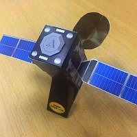 Aug.20,2016
QZS paper models
-
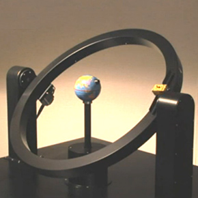 Dec.18,2014
[Movie] Model of Quasi-Zenith Orbit


