How to use the Satellite Number Effect Analysis Model
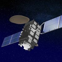
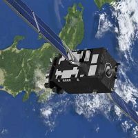
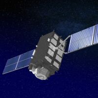
One's current position can be found by receiving signals from Quasi-Zenith Satellites (QZS) or GPS satellites, and calculating the distance between the user and the satellite based on the signal arrival time. Accordingly, positioning satellites are equipped with high-precision atomic clocks and send their orbit information and the accurate time along with their signals. Among these, positioning accuracy is improved by sending precise orbit information for the satellite.
Satellite positioning accuracy depends on the number of satellites from which signals can be received. This Satellite Number Effect Analysis Model allows the user to actually touch and experience how positioning accuracy increases with a larger number of satellites from which signals can be received.
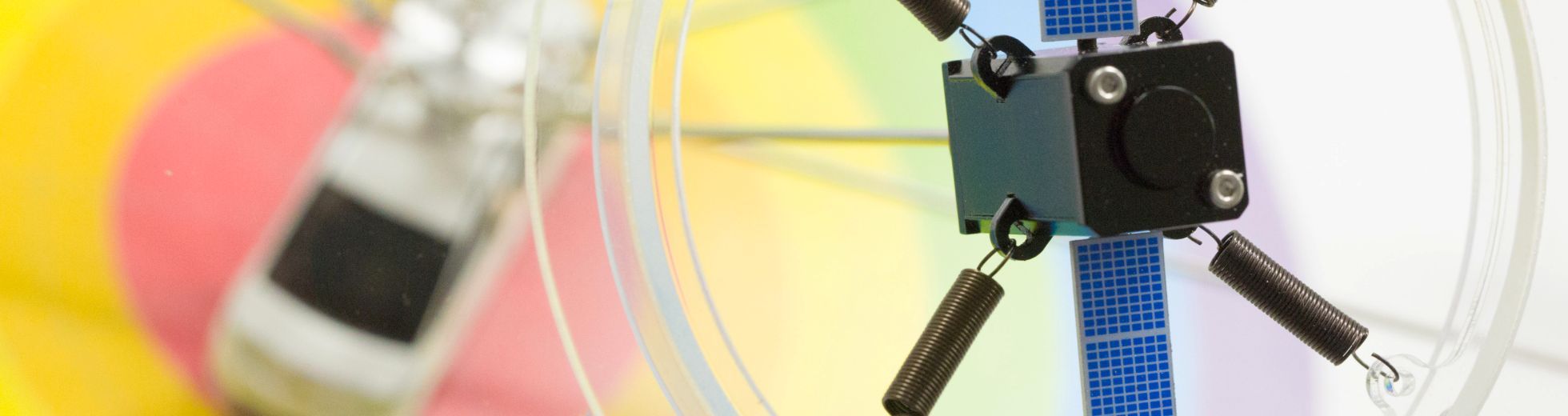
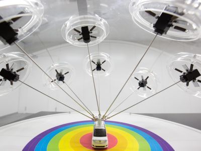
A pair of models with five and eight satellites
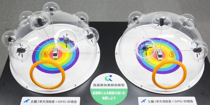
The Satellite Number Effect Analysis Model consists of two models: one with five satellites (QZS + GPS, right) and one with eight satellites (QZS + GPS, left).
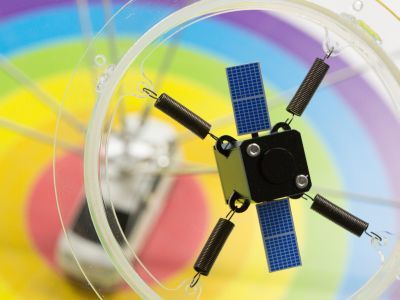
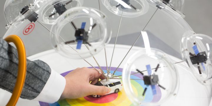
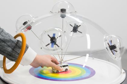
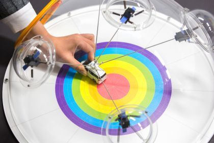
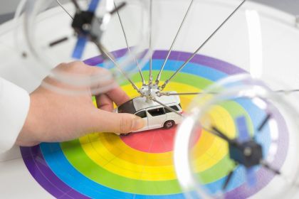
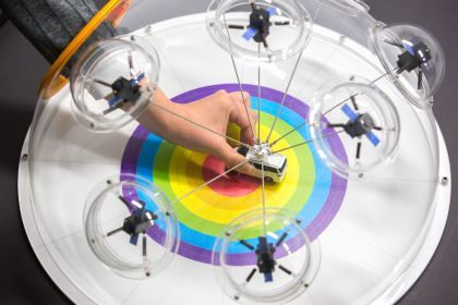
A satellite's orbit information contains errors, and in this model the errors are represented by the springs between the satellites and domes (left image above). Each model in the pair contains satellites on a dome that represents the sky, which are connected by metal poles to the miniature car, representing positioning receivers such as car navigation systems (right image above). The user can touch the miniature cars and compare their ranges of motion to see how positioning accuracy varies with five or eight satellites from which signals can be received. (A smaller range of motion indicates better accuracy).
The user sticks his or her hand through the yellow circle to move the miniature car
Five satellites
First, let us look at the model with five satellites (QZS + GPS). The user slowly moves the miniature car from top and bottom to left and right (horizontally) to see that it has a large range of motion. This range corresponds to the accuracy of satellite positioning.
Eight satellites
Next, for the eight-satellite model (QZS + GPS), the user slowly moves the miniature car with around the same force as the five-satellite model to see that the range of motion is smaller than the previous model. In other words, the car's range of motion is smaller for the eight-satellite model than the five-satellite one, and the car is harder to move, which corresponds to higher accuracy for satellite positioning.
Utilizing this Satellite Number Effect Analysis Model, the user can intuitively experience that satellite positioning accuracy and stability increase with a larger number of satellites from which signals can be received.