-
Previous
User Guide (Personal Use)

-
Next
User Guide (Automobiles [Logistics and Passenger Transport])
User Guide (Automobiles [Navigation])
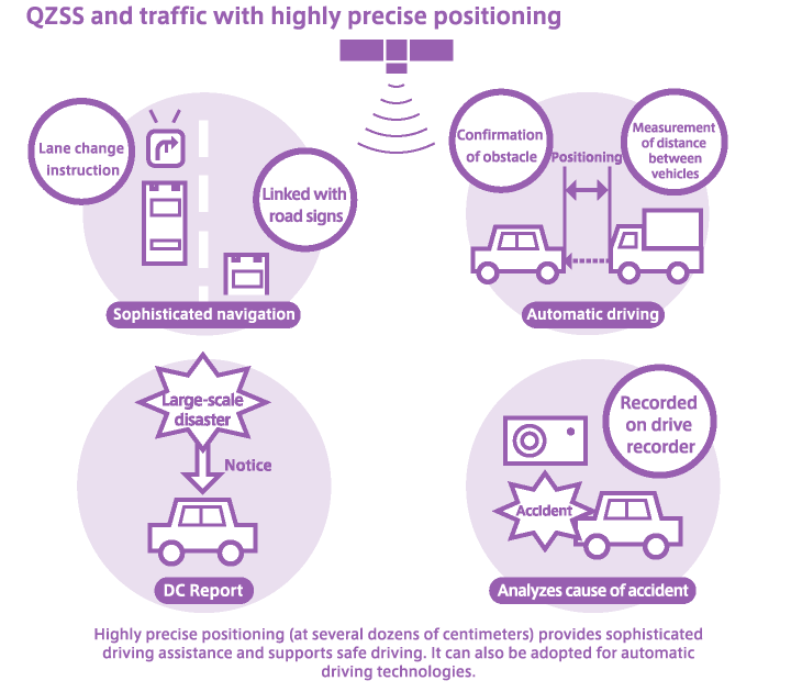
Highly precise positioning realizes safe and reliable navigation
Providing highly precise navigation
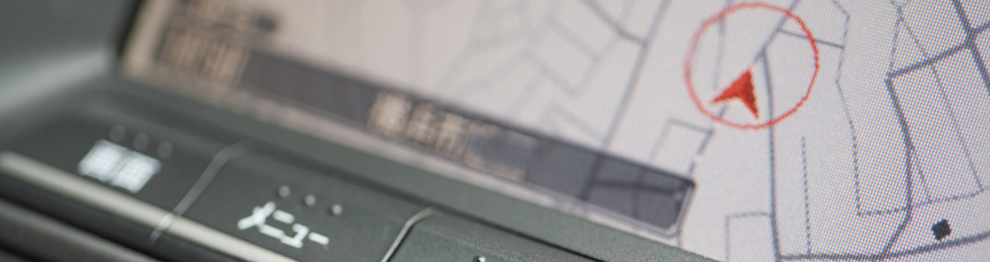
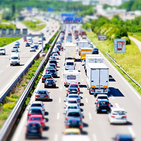
The high-precision position information of QZSS (Michibiki) takes car navigation systems to the next level. Using receivers with multiple frequencies via the satellite positioning service resolves ionospheric errors, which makes high-precision positioning possible at an accuracy of several dozens of centimeters. In this way, QZSS supports next-generation Intelligent Transport Systems (ITS). For example, you can understand information about the traffic lane where you are driving and receive instructions about lane changes.
Due to the increased number of satellites, highly precise positioning can be utilized in positions where it was difficult for positioning signals to reach—and accuracy was poor—in the past. This includes mountainous regions and urban areas.
Automatic vehicle driving and road pricing
In the future, all vehicles will be equipped with QZSS (Michibiki) receivers. By exchanging position information, it will be possible to understand where other automobiles are located in a very precise way. This will make automatic driving possible.
In addition, the creation of an automatic billing system based on this positioning information will make road pricing possible in which cars driving on specific roads are charged, as well as cars moving towards designated regions such as the central parts of urban areas.
Supporting safe driving to create a mobile society with no accidents
With highly precise positioning using the QZSS (Michibiki) satellite positioning service, it will be possible to receive information linked to road and traffic signs such as warnings about cross winds or temporary stops, which improves safety. In the event of a traffic accident, a drive recorder can be used to record car movements with great precision, allowing the cause of the accident to be analyzed scientifically.
In the event of a large-scale disaster such as an earthquake, tsunami, or volcanic eruption, the Satellite Report for Disaster and Crisis Management (DC Report) service will notify information to car navigation systems, which will prevent accidents.