
[Movie] Quasi-Zenith Satellite System “QZSS” (2018 version)
Movie introducing Quasi-Zenith Satellite System “QZSS” (8'39")
*Some new scenes were added to the movie released in December 2016.
Footage provided by:
Aisantechnology Co.,Ltd., East Nippon Expressway Company Limited, Ground Works Co.,Ltd., Japan Aerospace Exploration Agency (JAXA), Kansai Electric Power Co.,Inc., Komatsu Ltd., Kyoto University, Mitsubishi Electric Corporation, Mitsubishi Heavy Industries, Ltd., Mitsubishi Heavy Industries Mechatronics Systems Ltd., Mitsubishi Heavy Industries Asia Pacific Pte. Ltd., Obayashi Road Corporation, Obayashi Corporation, Rakuten Inc., SoftBank Corp.
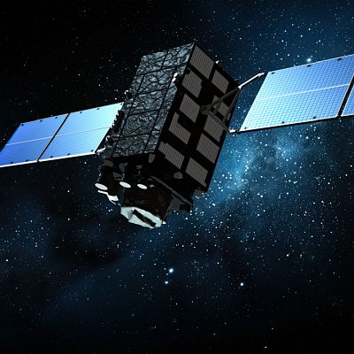
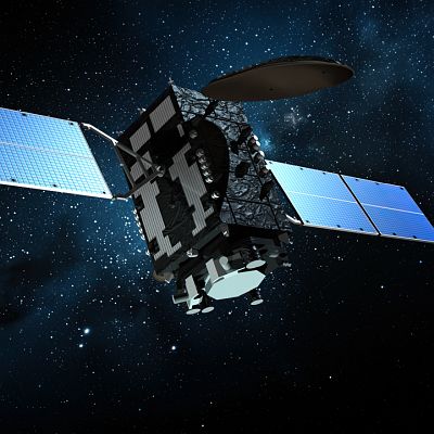
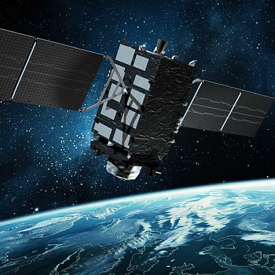
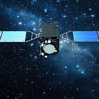
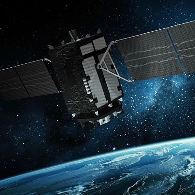
1. Quasi-Zenith Satellite System, “QZSS”
Following a launch of the first Quasi-Zenith Satellite in 2010, an additional three satellites were launched in 2017. The Quasi-Zenith Satellite System, or QZSS provides highly precise and stable services in the Asia-Oceania regions, while maintaining compatibility with GPS. The system has started to provide services with a four-satellite constellation from fiscal 2018.
Enabled by the reception of signals from satellites such as GPS satellites, navigation systems in cars and smartphones have become essential to our lives. Named after its eight-shaped orbit that passes directly above Japan, the Quasi-Zenith Satellite, or QZS, provides highly precise and stable positioning services that cannot be obtained merely by GPS. As the QZS located near the zenith is visible from positions where signals from GPS satellites are unstable, continuous positioning will become possible.
By utilizing one-of-a-kind augmentation signals from the QZSS, high precision sub-meter-level and centimeter-level positioning will also become a reality. During times of disaster, the QZSS sends evacuation information and enables the communication of information on evacuees through the satellites. The QZSS, which will drastically change the landscape of the positioning services, is expected to be utilized in various fields.
2. Advantage of the quasi-zenith orbit
As the QZS flies almost straight above us, people in mountainous regions or urban areas will be able to receive stable positioning information not accessible with GPS alone.
Position information from the QZSS will help ensure the safety and security of children and the elderly. Where is your child playing? Where is your child walking after cram school? If an elderly person has lost his way, his family can instantly locate him with the stable position information provided by QZSS located straight above us, and go to his assistance.
Road pricing is a system that automatically charges vehicles using toll roads as seen in Singapore. The QZSS will enable accurate positioning of vehicles even in urban areas with a lot of high-rise buildings, thus enabling proper charging of tolls.
The movement and position of sports players who wear QZSS terminals can be precisely monitored even in a poor GPS signal environment such as in urban areas or within a stadium. Such application has already been instrumental in strategy analysis and effective physical training.
Unmanned aerial vehicles, or drones are being utilized more than ever in various fields, such as logistics and land surveying. Using highly precise position information realizes more accurate and safe logistic services as well as more efficient land surveying.
3. Advantage of high precision positioning
The QZSS enables centimeter-level high precision positioning that cannot be achieved with GPS alone. In driver assistance and automatic driving, it is vital to monitor the current position of the vehicle accurately and continuously. The signals from the QZSS are less likely to be interrupted even in urban canyons, making it possible to determine vehicle position accurate to the lane-level. The QZSS enables driver assistance such as traffic lane guidance tailored to your destination, as well as safe automatic driving in combination with on-board sensors.
In the field of agriculture, utilization of the QZSS’s high precision positioning information will improve the sophistication of IT Agriculture. The QZSS’s centimeter level positioning information will make it possible to operate agricultural machinery automatically or information. This will enable efficient agriculture managed by a small number of people to cope with decreasing farming population due to aging.
In the field of construction, the utilization ICT along with the precision position information from the QZSS will informatize processes such as surveying, design, implementation, and inspection, thereby enhancing work efficiency.
In snow removal operation, by combining the position information from the QZSS and high-precision map information, the positions of snow removers and distance from the guardrails are determined with accuracy even if the road is covered by snow or the visibility is poor due to snowstorms, thus improving operation efficiency and safety.
4. Utilization of messaging functionality
In addition to positioning services, the QZSS provides disaster and crisis-related information. People can promptly receive information about disasters and other crises such as earthquakes, tsunamis, and terrorism incidents via the QZSS. During times of disaster where traffic and communication networks are cut off, communication of information regarding evacuees such as evacuation sites will be possible via the QZSS.
Its ability to reduce the number of people lacking crucial information during disasters and to maintain the safety and security of our lives has led some to refer to the QZSS as “life-saving satellites.”
5. Other applications
Other applications of QZSS in diverse fields are expected. Tourists may make use of position information on smartphones to get access to tourist information based on their current position. New ways to enjoy the system are being developed, such as augmented reality that displays various content on your smartphone just by holding it up to a portal to access site-specific tourist information.
The Quasi-Zenith Satellite System, QZSS will continue to help realize a “safe and secure society with enhanced convenience” by providing stable and precision positioning information anytime, anywhere.
-
 Apr.03,2025
[Movie] Quasi-Zenith Satellite System “QZSS” (2025 version)
-
 Feb.08,2025
CG Images of QZS-2
-
 Feb.08,2025
CG Images of QZS-3
-
 Feb.08,2025
CG Images of QZS-4
-
 Feb.08,2025
CG Images of QZS-1R
-
 Feb.08,2025
CG Images of QZS-6
-
 Nov.13,2024
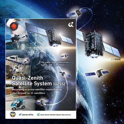
Pamphlet
-
 Nov.12,2024
Panels
-
 Aug.20,2016
QZS paper models
-
 Dec.18,2014
[Movie] Model of Quasi-Zenith Orbit